What is a traceability polygon under EUDR?
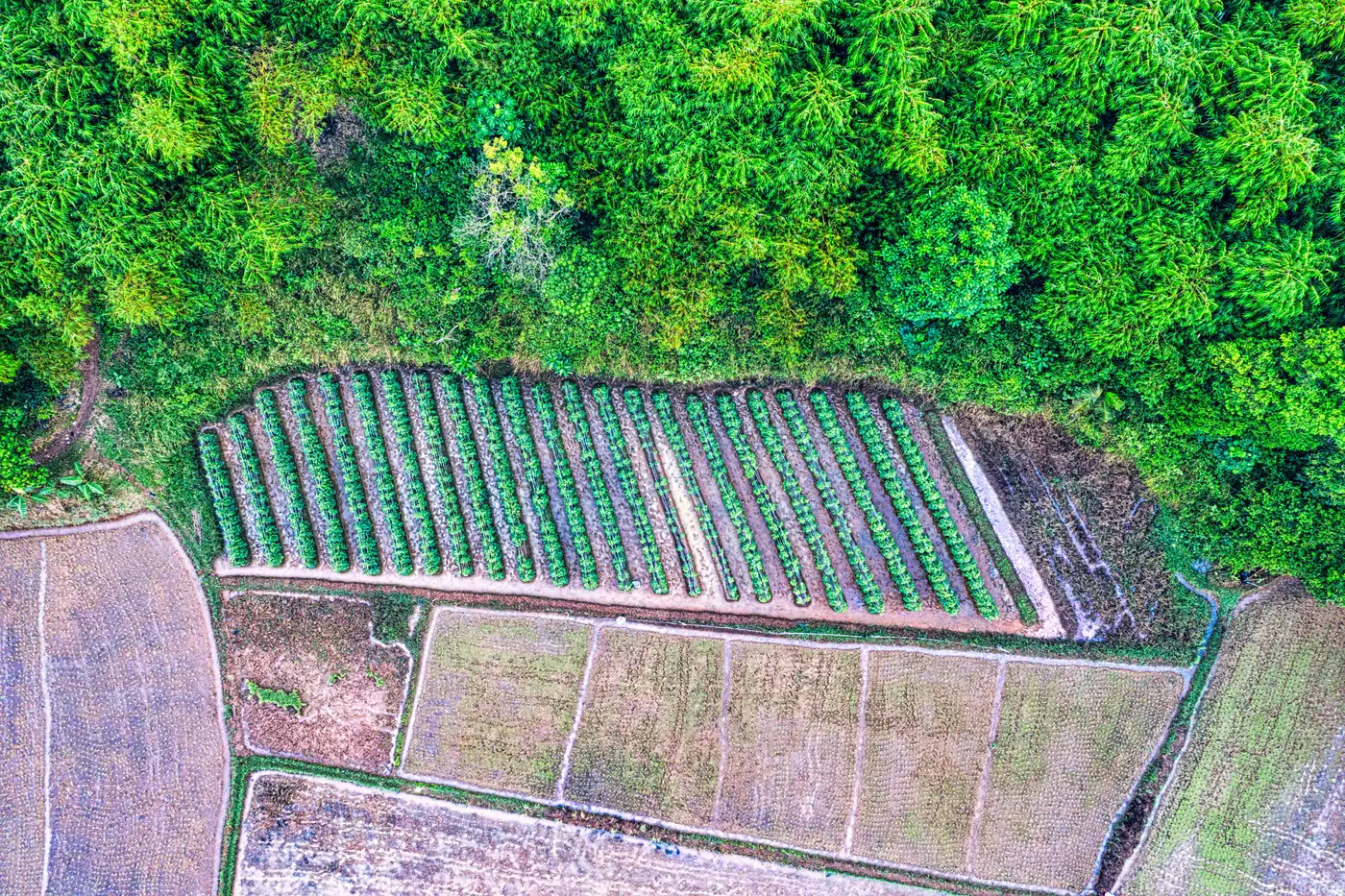
If you've been pulled into an EUDR due diligence file this year, you've probably hit the word "polygon" somewhere in the geolocation fields and wondered exactly what the regulation expects you to submit.
A traceability polygon under EUDR is the set of coordinates that traces the outer boundary of a plot of land where a relevant commodity, cocoa, coffee, soy, palm, rubber, cattle, wood, was produced. The polygon is a closed shape, built from a string of latitude and longitude vertices, that traces the full outer boundary of the production area rather than a single pin dropped at its center.
Point vs. polygon: when each one applies
The EUDR geolocation requirement splits on plot size. For plots under 4 hectares, a single geographic coordinate point is enough, basically the centroid of the plot. Once a plot hits 4 hectares or more, a point no longer satisfies the rule. You need a polygon: enough vertices to accurately describe the plot's shape, not a rough rectangle dropped over the area.
This distinction trips up a lot of first-time filers. A trading desk sourcing from a cooperative of smallholders might be fine with points for most farms, then find a handful of consolidated plantation blocks that cross the 4-hectare line and need full polygon data instead. Mixing the two incorrectly, or submitting a point where a polygon was required, is one of the more common reasons due diligence statements get kicked back for correction.
What the coordinates have to show
The polygon has to reflect the plot as it exists on the ground, including any areas inside the boundary that aren't under production, like a buffer strip, a stream, or a patch of remnant forest a grower has deliberately left standing. Operators typically submit this as GeoJSON or shapefile data, geo-referenced to a standard coordinate system, uploaded alongside the commodity volume and the harvest period it corresponds to.
Here's where it gets easy to get wrong in practice. Polygons drawn from memory, from an old cadastral map, or from a boundary a grower described verbally tend to drift from reality, sometimes by a few meters, sometimes enough to pull in a slope that was cleared two years ago. Operators have also run into trouble submitting polygons that overlap, where the same patch of ground gets claimed under two different supplier IDs further up the supply chain. Both problems surface the same way: during a risk assessment, when someone checks the plot of land coordinates against EUDR's December 31, 2020 cutoff date and the shape doesn't match what's really there.
The polygon doesn't retire once it's filed
This is the part that gets missed. A traceability polygon isn't a one-time compliance artifact you submit and move on from. It defines the exact area your due diligence obligation keeps following. If that plot gets expanded next planting season, cutting into forest that was standing when the original boundary was drawn, the polygon on file no longer describes a compliant plot, it describes one with a problem inside it.
For a government analyst screening a supply shed, or a sustainability team running annual risk assessments across thousands of supplier plots, the practical question isn't "do we have the polygon." It's "has anything changed inside that polygon since we filed it." Static land-cover updates that run once a year won't catch a clearing that happens in month two and gets harvested before the next review cycle.
That's the gap Deforestation Alerts is built around: you define the plot boundaries you need to watch, and a weekly alert flags a new clearing inside them within days of the first cloud-free satellite look, so a supplier-level problem turns up while your team still has time to act on it rather than at the next annual review.
If your team is holding hundreds of these polygons and no reliable way to watch them week to week, it's worth seeing how a weekly clearing feed fits into that workflow.