Setting a sourcing-area boundary before you turn on clearing alerts
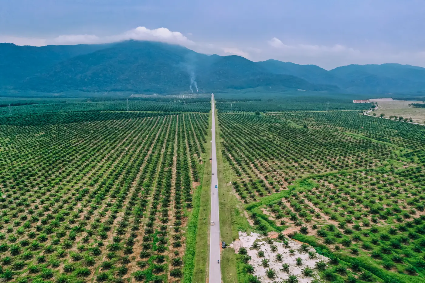
An alert feed is only as good as the polygon behind it. Draw the boundary too wide and you're getting pinged for clearing on land you have no commercial relationship with. Draw it too tight and a plantation expands fifty meters past your supplier's registered plot and you never hear about it. Before anyone turns on weekly alerts, someone has to decide what "the area" means.
This is the part that gets skipped. Teams pick a district boundary off a government shapefile because it's handy, or they buffer a single mill location by a round number like 50 km because that's what the last project did, and then spend months wondering why the alert volume doesn't match what's on the ground.
What defines a sourcing area
There's no single correct method. The right boundary depends on what kind of relationship you have with the land.
Mill catchment radius. For fresh fruit bunch and similar perishable inputs, the catchment is set by transport economics, not geography. FFB has to reach the mill within roughly 24 hours of harvest or oil quality drops, so the practical radius is usually under 50 km, tighter where roads are bad or terrain is steep. If you know the mill's throughput and the road network, you can back into a catchment that's closer to reality than a default radius pulled from someone else's project.
Concession or permit boundary. For direct suppliers with a registered concession, HGU, or permit area, the boundary is the legal polygon itself, not an administrative unit around it. This is the tightest, most defensible draw area, and it's also the one that goes stale fastest if the concession gets amended or a block gets released.
Supplier-declared farm polygons. Aggregated smallholder sourcing usually means stitching together dozens or hundreds of individual farm boundaries into one combined area. This is the most labor-intensive to build and the most likely to have gaps, since not every supplier hands over clean GPS data.
Administrative unit as a fallback. A district or sub-district boundary is the easiest thing to pull off a government map, and it's also the loosest. Use it when you genuinely can't trace sourcing further, not as the default because it saves a step.
Most sourcing areas end up as a combination: a mill catchment radius intersected with known concession boundaries, with a buffer added around the edges.
Why the buffer matters
Clearing doesn't respect the line you drew. A supplier expanding just outside their registered plot, or a mill catchment that stops exactly at a road when trucks actually cross it, will put real activity a few hundred meters outside your polygon. A buffer margin of 500 m to 1 km around a concession or catchment boundary catches that edge activity without pulling in the next district over. The right margin depends on how precisely the underlying boundary was surveyed. A GPS-walked concession line needs less padding than a hand-digitized administrative boundary.
Keeping the boundary current
Supplier lists change. Concessions get subdivided, sold, or dropped. A boundary drawn in January and never revisited is quietly screening the wrong land by June. Whoever owns the sourcing area should be the same person who signs off on supplier onboarding and offboarding, so the polygon gets updated in the same workflow that adds or drops a mill, not as a separate annual exercise nobody remembers to schedule.
Once the boundary's locked, it's also the only input that matters for turning raw satellite passes into something usable. A weekly clearing feed built around the area you define only works if that area is the right one. Get the polygon right first, and the alerts that follow will track the risk you're trying to screen for.
If the boundary work above describes where you're stuck, that's the step Deforestation Alerts is built to pick up from.