Cross-checking a clearing alert against a concession boundary shapefile
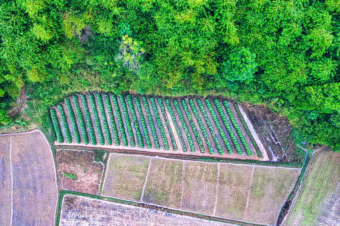
You get the alert Monday morning: a new clearing polygon, maybe 4 hectares, centroid coordinates attached. Before anyone picks up a phone or flags a shipment, someone has to answer the boring but load-bearing question: is this inside the concession, or is it fifty meters outside the line in a smallholder plot nobody's accountable for. That overlay is the whole job. Get it wrong and you either chase a clearing that isn't yours to chase, or you miss one that is.
Why the shapefile you're overlaying onto matters as much as the alert
A clearing alert is only as useful as the boundary you're checking it against. If the concession shapefile you're using is the one the operator submitted at license issuance five years ago, and the operator has since surrendered a block or the government has redrawn a buffer zone, your overlay will tell you a clean story that isn't true anymore. Pull the boundary from whoever maintains the authoritative version for your jurisdiction, usually a forestry ministry cadastre or a concession registry, and check the file's date before you trust it. A 2019 shapefile answering a 2026 question is a common way teams get burned.
It's also worth knowing whether the boundary you have is the legal concession line or a working boundary with a buffer already baked in (some jurisdictions require a no-cut buffer inside the legal line, which means a clearing can sit "inside the concession" on paper and still be a violation).
Getting the alert and the boundary onto the same grid
This is the step people skip and then wonder why their overlay looks wrong. The clearing alert usually comes out in WGS84 (EPSG:4326), geographic coordinates in degrees. Concession shapefiles from national land agencies are frequently delivered in a local UTM zone, a projected CRS in meters. Load both into QGIS or ArcGIS without reprojecting and the alert polygon can appear nowhere near the boundary, or worse, appear to overlap when it doesn't.
Check the .prj file or the layer properties for both datasets first. Reproject the alert layer to match the concession layer's CRS (or vice versa, it doesn't matter which, as long as they match), then zoom to extent on both to confirm they're actually looking at the same patch of ground before you run anything.
Running the actual overlay
With both layers in the same projection, a simple spatial join or intersect does the work: select the clearing polygon, run "select by location" against the concession layer, and read the result. Three outcomes matter here, and they're not evenly common:
The clearing falls fully inside the concession boundary. That's your clean case, flag it to the enforcement or supply-chain team with the concession ID attached.
The clearing straddles the boundary line. Calculate the percentage of the alert polygon's area that falls inside versus outside using the intersect tool's area field, not eyeballing it on screen. A clearing that's 80% inside and 20% outside a neighboring smallholder parcel reads very differently from one that's 50/50.
The clearing falls entirely outside the concession but inside your supply shed, the wider sourcing radius around a mill or buying point. This is the case traders miss most often because they're only checking against the concession layer and not against the mill's declared sourcing boundary. A clearing outside the concession can still be inside the shed you're sourcing from.
Where this breaks down in practice
A few recurring issues worth checking before you sign off on a result: concession boundaries that overlap each other (common where licenses have been reissued without the old boundary being retired), alerts delivered as a centroid point rather than a full polygon (a point can fall just inside a boundary while the actual clearing extends well outside it, so always pull the full extent if the alert source offers it), and boundary files with self-intersecting or unclosed polygons that make the intersect tool throw silent errors instead of useful results.
Document the CRS, the boundary file's source and date, and the overlap percentage every time. When the question comes back in a month, that's the audit trail that holds up.
If you're doing this overlay every week by hand against a boundary file, getting the clearing polygon itself as fast and as geometrically honest as possible is the part worth fixing first. Deforestation Alerts is built to send that weekly clearing feed for a forest area you define, flagged within days of the first cloud-free look, so the overlay step has something reliable to work with. Join the waitlist if that weekly feed would save your team the Monday-morning scramble.