Field notes: the three-week cloud gap over the concession everyone was watching
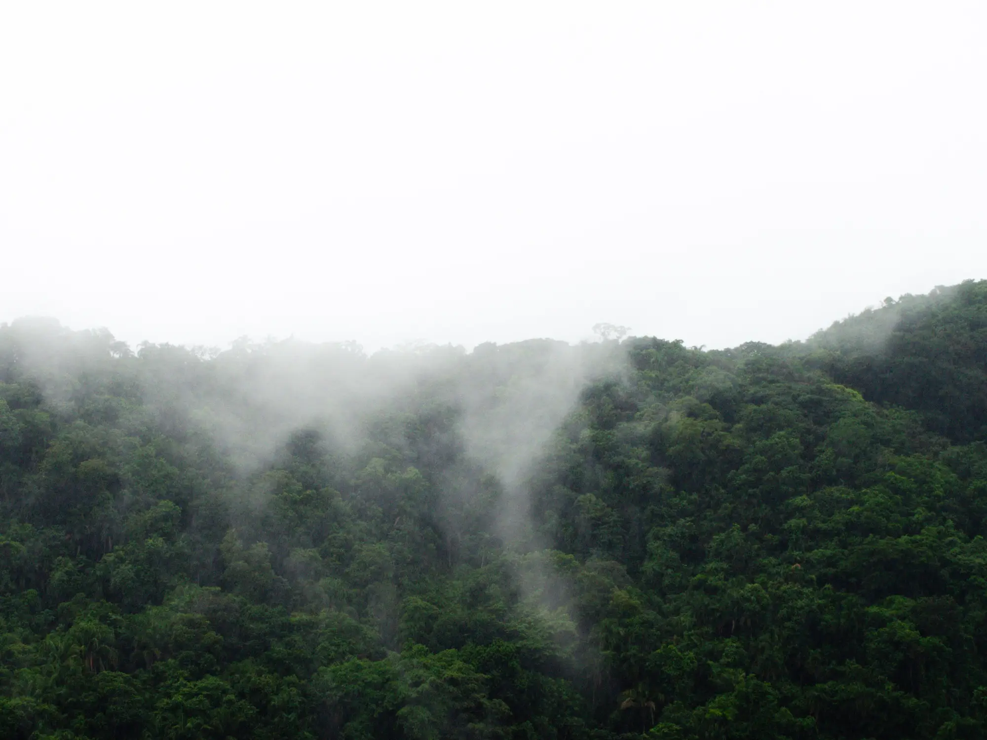
There's a block in the concession's northeast corner that's been on three different watch lists since last dry season. Old secondary growth, decent canopy, a logging road that stops just short of it and then, every few months, creeps another couple hundred meters closer. A handful of analysts who track this shed have had it flagged for months. So when the wet season rolled in this year and the imagery went quiet, several of us noticed at roughly the same time.
The gap ran from the second week of September to the first week of October. Twenty-two days, by my count, though it depends whether you start the clock at the last usable Sentinel-2 pass or the first Planet tasking request that came back unusable. Either way, every scene that touched the AOI in between had cloud fraction north of 70%, and the one pass that looked promising on the thumbnail turned out to be a thin cirrus layer that the cloud mask didn't catch cleanly. You could see shapes under it. You couldn't call anything from it.
This is the part of wet season monitoring nobody puts in the methods section: the waiting. Analysts who work tropical imagery know convective cloud cover eats three to five months of the year in most concessions near the equator. What's harder to convey is the specific experience of knowing a block is active, having a reasonable guess about what's happening to it, and having no cloud-free look to confirm or kill that guess for three straight weeks.
During the gap, the chatter on our team ran the usual range. Someone pulled Sentinel-1 radar passes as a stopgap, which helped confirm the road hadn't extended, at least not past where the backscatter signature changes. Radar doesn't care about clouds, but it also doesn't give you a clean read on partial canopy loss the way optical does, and nobody wanted to flag a clearing off a radar texture change alone. Another analyst pulled historical scenes from the same calendar window last year, on the theory that if clearing follows a seasonal pattern here, this was probably the window. That's a hunch, not a finding.
When the cloud-free look finally came through on October 4th, it showed about 4 hectares gone, a partial cut with the road as the clear staging point. The pattern matched the selective-then-clear-cut sequence we'd seen in two other concessions in the same district this year. Whatever happened, happened sometime in that three-week window, and there was no way to narrow it down further. The scar was there. The timeline wasn't.
What sticks with me about this one is how different the experience is depending on what you're watching with. A team running on an annual or even quarterly land-cover product wouldn't have felt any gap at all. They'd just get a number next year that includes this block along with everything else that happened in between, flattened into one update with no sense of when anything happened within that window. The three-week wait we sat through is invisible to that workflow, because the workflow isn't built to notice gaps in the first place.
For anyone trying to route this kind of finding to a field team or a supply-chain desk before the trail goes cold, the timing matters more than people outside the trade tend to assume. A clearing flagged the week a cloud-free pass catches it is still useful. The same clearing surfacing in a year-end report is a different kind of information entirely, closer to an obituary than an alert. That gap in usefulness is the whole reason a weekly clearing alert built around the first cloud-free look is worth setting up for a concession on your watch list, rather than relying on whatever update cycle happens to land next.
If you've got a block like this one on your own list, it might be worth seeing what Deforestation Alerts would have caught, and when.