Field notes: the clearing alert that was actually a windthrow
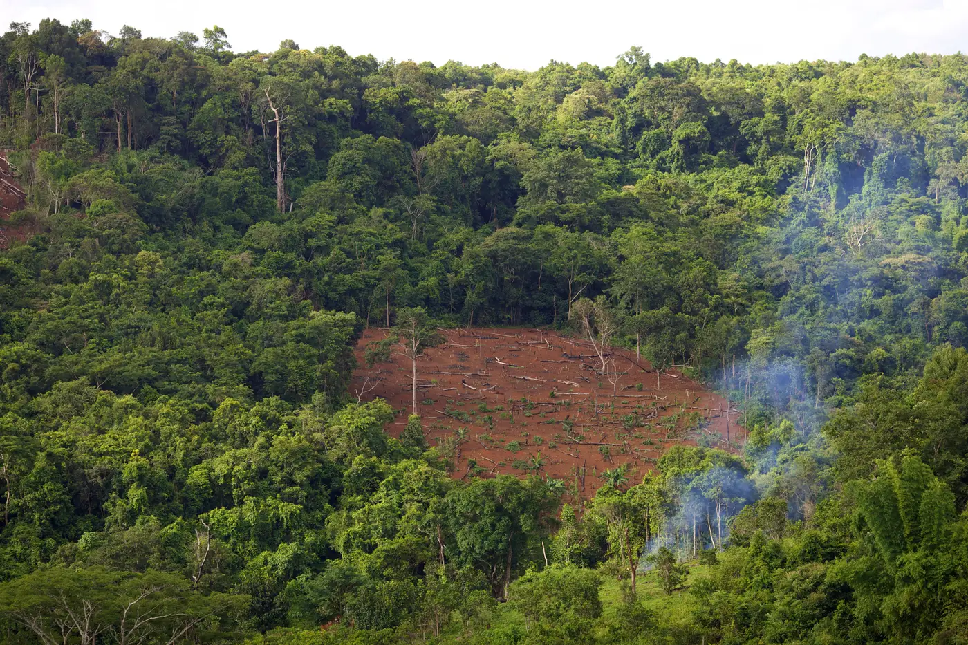
A gap showed up on a Tuesday pass over a concession block we'd been watching for about eight months. Clean canopy one week, a ragged hole the next, roughly four hectares. The alert queue flagged it the way it flags everything: new bare ground where there used to be forest. First instinct was the usual one. Somebody cut in over the weekend and hoped the cloud cover would hold.
It didn't hold, and the shape told a different story once we sat with it.
Clearings cut for agriculture or logging tend to follow something. A property line, a road, a river terrace, a permit boundary. The edges are straight or gently curved, the kind of straight that comes from a chainsaw crew working a surveyed limit, not from weather. This gap had none of that. The boundary wobbled, pinched in places, and ran roughly northeast to southwest in a corridor shape rather than a block. That orientation is the first thing that should make you pause, because it lines up with a storm track, not a parcel map.
The second tell was debris. A cut clearing is bare. Stumps, maybe some slash piled at the edge if it's a timber operation, but mostly open ground, sometimes already showing the first flush of grass or a planted row. A windthrow gap is a mess.
Trunks lie down roughly parallel to each other, crowns all pointed the same direction, with root plates torn up and tipped vertical where the whole root mass came out of the ground at once. Those tip-ups leave a dark scar of exposed soil next to each fallen trunk, and from above it reads as texture inside the gap rather than clean bare ground. On the imagery, this block had that texture everywhere, rows of lighter crowns stacked like fallen dominoes.
We pulled the regional weather record for the ten days before the alert and found what we expected. A squall line had crossed the area four days before the cloud-free pass, with a reported downburst about 40 km east. Straight-line winds from a derecho or a strong downburst don't respect property boundaries any more than a hurricane does. They flatten a corridor and leave the trees on either side standing. That's exactly what the gap shape showed once we looked at it as a corridor instead of a clearing.
None of this means natural disturbance alerts don't matter. A windthrow changes the carbon accounting for that block, it changes fire risk for the next dry season, and in some jurisdictions it changes what a landholder is legally allowed to do with the downed timber. It just isn't a deforestation event, and calling it one in a weekly brief to an enforcement team or a buyer's sustainability desk burns credibility fast. Send a field team to a blowdown you logged as a clear-cut and you've wasted a truck, a day, and some trust you'll want back later.
The habit worth building is simple: before a new-clearing flag goes out the door, check the edge shape against known boundaries, check for parallel fall direction inside the gap, and check the storm record for the window between the last clean pass and the one that caught the change. Most of the time the three checks agree fast. Straight edges with bare ground point to a cut. A ragged corridor with trunks lying the same direction points to wind.
This is the kind of judgment call that matters more once the cadence of alerts gets weekly instead of annual. If you're setting up a weekly clearing feed for a block you watch, our landing page walks through how the alerts are scoped and routed. Set one up for the area you're responsible for and start building the same eye for the difference.